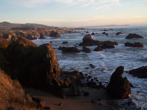
I wanted to see the beauties of this state park, particularly the tidal pools at Shell Beach, but I also wanted to get in a hike of good distance. The best I could do was come up with three short hikes.
My friend Erik joined me on this hike. We took CA 12 from Fairfield through Sonoma and Santa Rosa. I used to visit the wine country frequently when I lived in Davis, but I believe this was new territory for Erik.
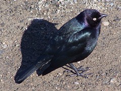
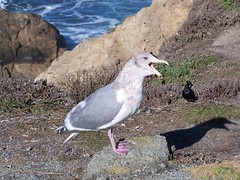
Birds at the Parking Lot
Our first stop was Bodega Head. The view from there was certainly dramatic, but I took my pictures relatively quickly and moved on, because we had a lot of ground to cover, and I wanted to be sure to be at Shell Beach at low tide. Erik, however, seemed overwhelmed by it all, and kept taking picture after picture. Eventually I just left him behind.
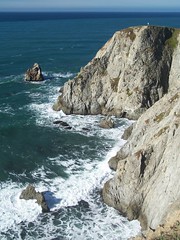
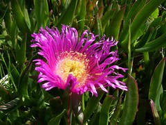
That gave me plenty of time for taking pictures, like lying down with my camera stretched out over the cliff's edge to get a shot of an ice plant. And I went off on another trail in pursuit of a deer I saw, but didn't manage to get a shot.
Eventually Erik caught up, and I explained the urgency of the situation. The next part of the hike was to be through the Bodega Dunes. I had already decided to cut that short since we were behind schedule, but then we took the wrong trail at a junction and ended up an overlook of Horseshoe Cove and the UC Marine Laboratory. So we just skipped the dunes.
We drove off instead to the parking lot for Shell Beach. It was still long before low tide, but I hoped to get back in time to check out the tidal pools. We hiked north along Kortum Trail.
The official trail keeps a good distance from cliffs along the water, where the spectacular views are. But there are many use trails that come much closer, and we took advantage of those.
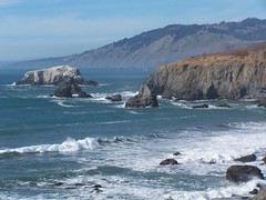
There was one big hill to cross, where the trail comes very close to Goat Rock Road. The trail ends at the parking lot for Blind Beach.
From there, it's down a steep path and a lot of stairs to Blind Beach. I was preparing to take a picture of a child playing on the beach when she turned around and ran in my direction.
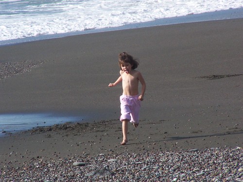
The rest of the hike was up the beach, except when we had to pass over a parking lot next to enormous Goat Rock. We ended up where the Russian River empties into the Pacific Ocean.
It's an amazing place to be, with thousands of birds and plenty of seals bobbing out in the sea. Across the Russian River you can see the weathered town of Jenner clinging to the coast.
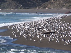
At this point we had to speed back. It's not easy to be speedy on sand. When we got close to the parking lot, I spotted an unusual flower.

A redhot poker, it turns out to be. A state website says there are reports of sightings of this flower in Sonoma County, but no confirmed instances.
Finally, down to Shell Beach. Some people who appeared to be researches were poking around in the pools, leaving many of them muddy, but there were still great sights. The best of all was a sunflower star, which preys on other sea stars. I tried getting a shot with my polarizing filter to cut down the reflections off the surface of the water, but it didn't work out. I realize now that I just needed to find the right angle to avoid those reflections. I've been praying to see another sunflower star ever since.

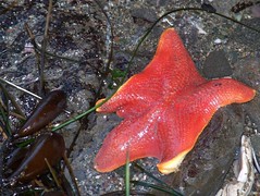
Sunflower Star & Bat Star
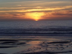
The sun was setting as we were driving back, so I checked the map to see where we could get a good sunset photo without taking much time. North Salmon Creek Beach is where we ended up, with just enough time to shoot the sunset and push on.
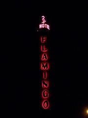
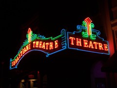
We made another couple of stops on the way home, since I had a chance to shoot some great vintage neon.
3 comments:
Great pictures! I like what you are doing with this blog.
Nice. I love the little kid speeding across the sand. I'm a sucker for those kind of shots now.
I love the red hot poker flower picture. The background you chose is excellent. The sunflower star is very interesting. I've never seen such a thing.
Post a Comment