If you haven't gone hiking in Point Reyes National Seashore before, then there are certainly a few hikes I would advise you to take before this one. But I've done the most dramatic hikes already, and I want to traverse every mile of trail in the park.
The Rift Zone Trail goes right along the San Andreas fault, and hence the name. The best time of year to do this hike is March or April, when you will get the best wildflower displays. I did it a tad late in the year.
I parked near the Bear Valley Visitor Center for this hike. There are lots of trails branching out from this area. Just a few feet into the Bear Valley Trail the Rift Zone Trail veers off to the left.
It comes to a creek where there are two bridges and apparently two trails. I think the larger, higher, and newer bridge to the north has been put in for equestrian traffic. On the other side, I passed through cow pastures for quite a ways, occasionally having to open and close gates. There were some bull thistle flowers in one of the meadows with bees on them. The larger bees wouldn't stick around when I got the camera close to them, but a wee tiny bee stayed in place for me.

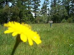
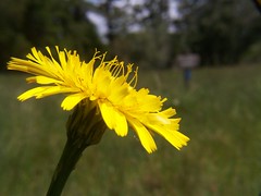
Later I amused myself by practicing with focus and depth of field on a wildflower and a sign.


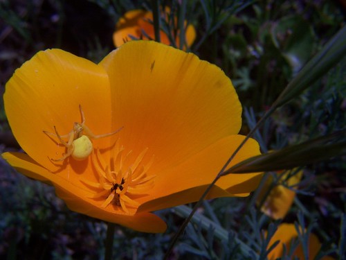
At one point the trail crosses a dirt road to a religious retreat, very near to CA 1. I could hear the traffic and see bits of nearby Olema. Eventually, however, the path climbed up into a wooded area that is more remote, where I took the photo of the spider in the California poppy at the top of this blog entry.
Eventually I arrived at the Five Brooks trail head, an area I had visited before on a hike with my friend Erik. So after stopping to eat some leftover pizza at a picnic table by a pond, I headed back. I only encountered one other hiker on the whole route, but I did stop to let several people on horseback pass by.
It wasn't a particularly long or difficult hike, so once back at the parking lot I went ahead and walked the Earthquake Trail as well. This is like the Rift Zone Trail for those who don't like to be on their feet for very long. It has interpretive displays.
On the way home I stopped off at an In-N-Out in Davis for a 4x4 with onion. When I posted a photo of a 2x2 on Flickr, somebody told me I needed to order a 4x4. That's about all it takes to get me to do something.

1 comment:
I am inspired...
#1: to try a 4x4
#2: to visit my favorite spot on the Bear River once a month for a year.
Post a Comment