According to California Hiking, "You'd have to be part mountain goat and part idiot to want to try this hike." It's a 2720-foot descent to Mumford's cabin on the North Fork American River in 3.25 miles. That means a steep climb when you're ready to return to the car.
I was disappointed with the hike to the north peak of Mount St. Helena I had made the week before. I thought that would be a good test for me early in the season, but it proved to be an easy trek. So this time around I was going to make sure that I would get in a good workout.
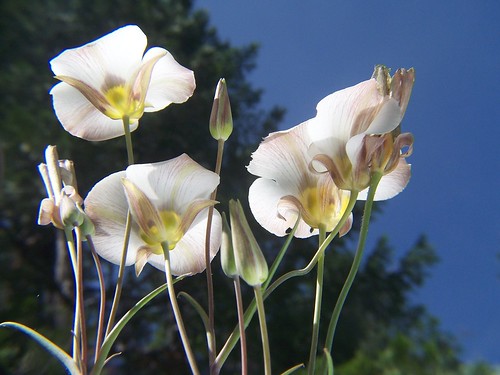
It didn't take me long to see that it would be what I was looking for. My knees were really feeling it less than halfway down. I made just one stop on the descent, to take some photographs of wildflowers using my reflector to light them from below.
At the end I was disappointed with the fact that there was no easy access to the river. You are still a ways above it. As I was looking around to see if I could climb down to the river, a couple of backpackers came along and asked if they were near Mumford Bar Trail. They had hiked down the day before at Sailor Flat.
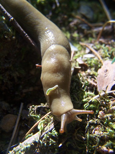
After helping them, I hiked north on the American River Trail hoping for better views of the canyon and the river. My way was stopped by a creek. Normally, I would have rock hopped this without a problem. But my knees were Jello, and I didn't feel comfortable with trying to cross it. Instead I just took photos of it and some nearby banana slugs.
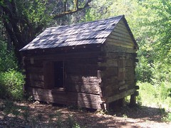
On the way back, I stopped to photograph Mumford's cabin. I'm not sure how much of it is original. Some of the boards were definitely new. And of course, people have carved their initials in this historic cabin.
I didn't stay long, but just started hiking right back up. As soon as I got high enough to be away from the mosquitoes that were bothering me by the river, I stopped and ate my sandwich. Other than that, it was just a steady climb.
I'm much better about pacing myself on climbs than I used to be. I used to hike quickly, then stop to catch my breath. Now I just move steadily at a slow pace. About 3/4 of the way up I passed the backpackers I had met earlier.
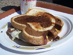
It wasn't one of the more scenic trails I've been on, but I was fully satisfied with the hike at the end. I headed off for my reward: a patty melt from Ikedas in Auburn.
Hike Summary
Date: 3 June 2007
Trail head: Mumford Bar
Approximate distance: 6.5 miles
2 comments:
Another enjoyable account of a grueling hike.
In these upper stretches of the river canyon, there are only three or four ways down — each a brutal descent with anywhere from 1600 to 3000 feet of elevation loss, depending on where you’re able to park. We chose to enter via the “easiest” and closest (driving) route, Mumford Bar Trail off Foresthill Road. Turns out, it was terribly arduous and much longer than I recalled from three years ago. Nearly nine miles one way, the first stage comprises a grueling three and a half mile 2700 feet trudge down to the river over the course of dozens of switchbacks through a dense forest.
http://gambolinman.blogspot.com/2005/08/north-fork-american-river-100-hours-of.html
Gambolin' Man
Post a Comment