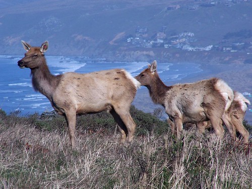
This posting covers two trips to Tomales Point, just two months apart.
The first time I went by myself. As often happens when I'm hiking alone, I pushed myself to see how fast I could hike the trail--except when I stopped to take photos and eat. My book said the hike should take around 5 hours, but I did it in 3 1/2 hours.
Planning for a hike at Tomales Point is difficult. It's a spear of land that juts northward into the ocean, with Tomales Bay on the other side. Wind can be whipping across with heavy fogs, or it might clear up and you'll be in bright sunshine. I tried to prepare for all possibilities and had to keep taking things off and putting them on again as the weather changed. Other people I saw fully committed one way or the other--bundling up for a winter storm, or hiking in just shorts and t-shirts.
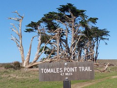
The parking lot is at a working ranch that you skirt around. Near the trail head is a nice stand of weathered trees. There's only one other point on the hike where you will see any trees, where you dip down to cross a small stream.
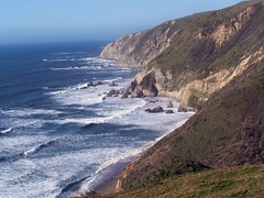
The trail runs right down the center of the ridge. Unfortunately, the most dramatic views are on the edges. It's worth it to make a venture over now and then as I did in the photo below, but not too close. There are plenty of warnings about how dangerous the crumbling cliffs are.
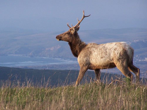
One of the highlights of hiking to Tomales Point is getting to see the herds of tule elk. They were a native animal that humans completely eradicated from the area, but they have been reintroduced. I saw them in large numbers on both hikes. As you come upon them they will all turn their heads to stare at you. Get too close and they will begin wandering off.
As you get towards the end of the trail, it gets really sandy. That makes for slow going. At the tip itself you can see where some people have ventured down quite close to the water, but on this first trip I cautiously stayed back a ways.
Two months later I took my friend Erik on the same hike, and timed it so that we could then hike down to McClures Beach (the trail head for that is very close to the one for Tomales Point) and catch it at low tide.
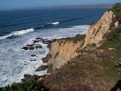
The weather was nicer on this trip, and I didn't need to bundle up at all. When we reached Tomales Point, we went down quite a bit closer to the water than I had previously. On the return, I went running off through the brush to get better views off to both sides. Sometimes Erik followed me, other times he preferred to stay on the path. There are quite a number of small paths from the tule elk and black-tailed deer.
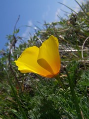
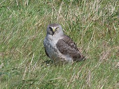
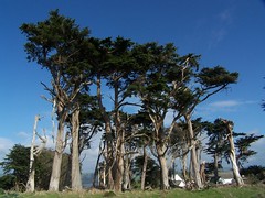
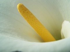
We also made a diversion off the trail at that low point with the trees, as we saw some calla lilies. After seeing them in great numbers at Golden Gate Park a few weeks later, I felt silly for getting so excited about them at the time.
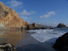
When we got back to the car, we drove the short distance to the other trail head, and after using the pit toilets there made the short hike down to McClures Beach.
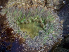
I had read that this was one of the better beaches for tidal pools, but I wasn't seeing much that was that great and it was really close to low tide at this point. So I sped along, going farther and farther south down the beach checking for anemones and sea stars. Erik was too fascinated with the beauty before him to rush on, so he took lots of pictures and slowly made his way south.
I did find a better area finally. There weren't many great photo opportunities there, but I did see plenty of sea stars and anemones. By that time the tide was just beginning to rise. After Erik caught up, I pointed out a couple of good areas, and we made our way back. This time I went more gradually.

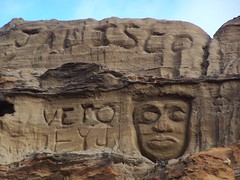
Back where the trail reaches the beach some people have carved in the sand cliffs.
That was all I had planned for the day, but we got another treat. As we were driving back, there were plenty of tule elk by the side of the road, bathed in the golden light of late afternoon. They wouldn't let us get close to take good photos on foot, but they didn't seem to mind me driving along slowly shooting them through the rolled-down window. Erik had a little tougher time shooting past me from the passenger's seat, but we were close enough that he got great full-frame shots too.

Hike Report
Dates: 7 January 2007 & 1 March 2007
Trail heads: Tomales Point & McClures Beach
Approximate distances: 9.4 miles & 10.2 miles
Map: South District Hiking Map
1 comment:
I love the photos on this entry. My favorite today is the beach with the reflection of the cliff. I downloaded it from your flickr page and sent it to my work email address so I can put it on my desktop in my cube. Too bad we can't adorn the desktops in the scoring room... No, it is probably a good thing we can't. But wouldn't it be fun to walk into the East Wing and have a whole bank of computers full of your hike photos?
Post a Comment