Some of my photos are now for sale at ImageKind.
Nature Index
(My hiking and camping adventures in Northern California.)
Culture Index
(NorCal cities, highways, restaurants, museums, architecture, historic attractions, vintage neon signs, roadside attractions, etc.)
Nature Index
(My hiking and camping adventures in Northern California.)
Culture Index
(NorCal cities, highways, restaurants, museums, architecture, historic attractions, vintage neon signs, roadside attractions, etc.)
Thursday, June 14, 2007
Mt. Tamalpais Watershed: Two Lakes Loop
Bon Tempe Lake
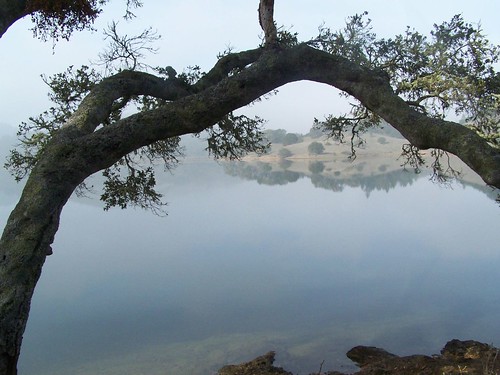
California Hiking says that this hike is popularly called Two Lakes Loop, there is not an official name. It is simply a stroll around Lake Lagunitas and Bon Tempe Lake. I wanted an easy hike to take, as I had not been out on the trail since I had broken a toe. But the hike was even shorter and easier than I was expecting, and the description of this hike won't take long either.
This hike got a rating of 10 out of 10 for scenic value in California Hiking, and calls it "one of the Bay Area's best." I would not go that far.
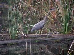
Two friends from work, Erik and Dana joined me on this hike. From the parking area, we started uphill to the edge of the Lake Lagunitas, and immediately came across some blue herons. The trail goes mostly through forest around the tiny lake. We were quickly done circling it and ready to circle Bon Tempe Lake.
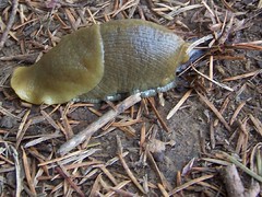
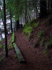
Bon Tempe Lake is larger and the trail around it is more varied. We passed through dark forest filled with moss, newts, and banana slugs, and we were also in exposed grasslands. At one point we had to walk along a road before rejoining the trail. We crossed a dam, and had a bit more climbing to do than on the trail around Lake Lagunitas.
We finished up plenty early, so on the way back we stopped to stroll around Fairfax.
Hike Summary:
Date: 19 November 2006
Trail head: Lake Lagunitas Picnic Area
Approximate distance: 5.2 miles
Trail maps
Subscribe to:
Post Comments (Atom)
Blog Archive
-
▼
2007
(59)
-
▼
June
(29)
- Tahoe National Forest: Penner Lake
- Tahoe National Forest: Heath Falls
- Highway 99: Pollardville & The Chicken Kitchen
- Golden Gate NRA: Muir Woods
- Lake Tahoe Basin: Bayview Trail to Middle Velma Lake
- Rancho Seco: Howard Ranch Trail
- Stevens Trail
- Spenceville Wildlife Area
- El Dorado National Forest: Twin & Island Lakes Trail
- El Dorado National Forest: Wrights Lake to Pearl Lake
- El Dorado National Forest: Tyler Lake Trail
- El Dorado National Forest: Grouse Hemlock Lake Trail
- Mt. Tamalpais Watershed: Two Lakes Loop
- El Dorado National Forest: Lyons Creek Trail
- Mount St. Helena
- Tahoe National Forest: Mumford Bar Trail
- El Dorado National Forest: Emigrant Lake Trail
- Sonoma Coast State Beach
- Tahoe National Forest: Loch Leven Trail
- Point Reyes: Sculptured Beach
- Point Reyes: Tomales Point & McClures Beach
- Point Reyes: Ridge Trail & CA 1
- Point Reyes: Drakes Head & Sunset Beach
- Point Reyes: Bear Valley & Arch Rock
- Point Reyes: Mt. Wittenberg & Woodward Valley
- Point Reyes: Muddy Hollow & Drakes Head
- Point Reyes: Rift Zone Trail
- Point Reyes: Lighthouse & Chimney Rock
- Point Reyes: Alamere Falls
-
▼
June
(29)
1 comment:
No pictures of the newts you saw?
Post a Comment