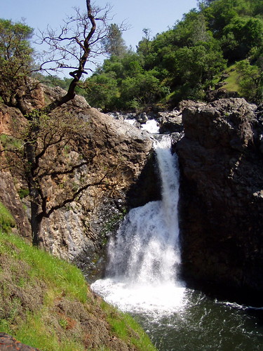
Shingle/Dry Creek/Fairy Falls
April 29, 2006 was the day I became a hiker. I had done a few hikes spread over many years before, and even owned an expensive pair of hiking boots. But as of that day I started hiking regularly and have built up enough strength and endurance to hike to amazing places most people in the area will never see.
I initially had two motives for taking up hiking. I wanted to take more photos, and I wanted to get into better shape. But I needed to start out with an easy hike, and one that was suitable for April, which led me to choose the Shingle Falls hike out of California Hiking.
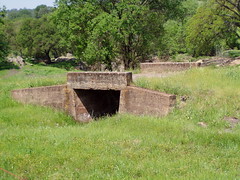
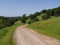
It was an adventure to me just to get to the place on obscure roads and dirt roads. At the trail head there was an old concrete bridge that didn't connect anything, a remnant of some past farming or ranching operation. The first part of the hike is just an old road no longer used by vehicles that crosses another concrete bridge.
The Trail
I hiked up the road to the turnoff for the trail to the falls. I encountered a surprising number of people on the way, some of whom asked if I was headed towards Fairy Falls. My book said they were officially named Shingle Falls but were commonly known as Dry Creek Falls (because it's dry later in the year).
Near the turnoff, a father and his two sons with BB guns told me about a dead cow up ahead and a bobcat they had seen near it.
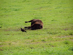
I saw the dead cow, and the vultures circling over it, but never saw a bobcat. Later I was surprised to see a tree that had blown completely over and had its roots in the air. I see a dozen such trees on any given hike in the high Sierra now, but at the time it was something new, and I took a picture.
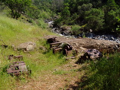
There was a small waterfall before the main one. And somewhere along the creekside I found rusted old equipment.
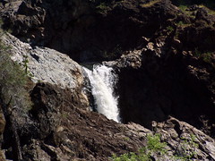
Finally, I reached the large waterfall, old What's-Its-Name Falls. There was a cliff here by the lower portion of the creek, and it was fenced off. I wandered up and down it a bit.
I had seen a narrow foot path head off the main trail, which I took on the way back, figuring it was a short cut. I'm not sure if it is shorter, but it didn't go up and down so much, and got me back.
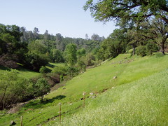
On the Shortcut
I had been spending enough time in the gym on the elliptical trainer and treadmill that the distance and the climbing were no problem for me. But I hadn't been doing anything at the gym that resembled hiking downhill. The fronts of my legs below the knee is where I was sore the next day. Apparently those are the muscles that keep you from plunging downhill at full speed.
I had plenty of time afterwards, so I resumed my more usual hobbies, eating at Shakey's Pizza in Oroville, and photographing buildings and neon signs.



Hike Summary
Date: 29 April 2006
Approximate distance: 5 miles
Links: Map
1 comment:
Its a nice beginner hiking trail to Fairy Falls at Spenceville Wildlife Area. In December when we hiked it there weren't any wildflowers, but the waterfalls were really gushing due to the recent rainstorm.
• Spenceville Wildlife Area - YubaSutter wiki.
Post a Comment