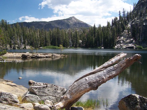
Dardanelles Lake
This hike covered an area just to the east of the hike to Showers Lake, in Meiss Country. The trail starts from a parking area next to CA 89 (you have to cross CA 89 from the parking lot to the trail), mostly south of South Lake Tahoe and east of Sacramento. I brought my friend Erik on this trek.
After crossing the road, we started up some switchbacks, which top out at Big Meadow. The trail is a well-blazed narrow path in a straight line across Big Meadow for 1/4 mile. On either side is swampy grassland. I remember a woman and her dog passing us here, and quickly leaving us a long ways behind.
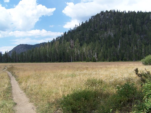
Big Meadow, Facing North
On the southern edge of the meadow, we entered forest and began a gradual ascent. Once at the top, we dropped down a relatively short, but steep, series of switchbacks to a junction. We turned right and headed down Meiss Meadow Trail to another junction for the trail to Dardanelles Lake. Near the start of that trail we rock hopped a creek. As we got close to the lake, we got to a scenic granitic area where the trail was hard to follow at points, and we had to look for cairns to guide us.
Near Dardanelles Lake
We arrived above the eastern edge of the lake, but worked our way around large rock formations and a pond to a nice area on the north shore with smooth granite shelfs sloping into the lake. The view to the south was quite beautiful, but being there at midday, the lighting was poor for photographs.
Having read that the lake was suitable for swimming, I took a dip (Erik stayed on shore). To date this is the only mountain lake I've found warm enough to spend more than a minute or two in. After swimming, I stretched out on the granite in the sun to dry off (all of this was with my nylon hiking shorts on, by the way, not in the buff).
Fellow Sun Bather
We headed back, and when we got to the junction at the base of the only really steep portion trail, we chose to extend our hike by heading south to Round Lake. On the east shore of this lake are dramatic, volcanic cliffs. We didn't spend much time there before returning and making that one big climb, followed by the descent to the meadow, and then the short switchbacks down to the highway. On this final portion we passed a large group of kids just heading out to camp. A girl carrying a full-sized pillow stands out in my memory.
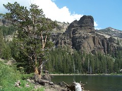
Round Lake
Hike Summary:
Date: 13 August 2006
Trailhead: Big Meadow
Approximate distance: 9.2 miles
No comments:
Post a Comment