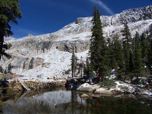
Lyons Lake
I recently read a couple of books by John Muir, and his mountaineering exploits inspired a desire in me to hike to another mountain summit. From his descriptions, October seemed a perfect time to go. So I proposed to my friend Erik that we hike to the top of Pyramid Peak via the Lyons Creek Trail. He was concerned about the difficulty of the climb and the weather, but I sent him a link to a website that made it sound pretty easy, and assured him that although it had been unseasonably cool, the forecast for the weekend was for warm weather and clear skies. He agreed to go.
I was hoping there would be a bit of snow on the peaks, just to make them even more beautiful, but as we turned off of U.S. 50 and headed up on Wrights Road, it became apparent that we would have snow along the whole trail. Figuring this would make the climb trickier, we decided on a side trip to Lyons Lake as a back up plan. On our Desolation Wilderness permit I put down our destination as Lyons Lake or Pyramid Peak.
What a total transformation a blanket of snow makes. When we hiked this trail back in July, it was a wonderland of wildflowers and butterflies. Had we hiked it at the end of September, we would have seen mostly the brown and wilted remains of that earlier display, but just a week later everything was gorgeous again with a pristine layer of snow.
We hiked along following the footsteps of people before us until we caught and passed them--three backpackers. After that we were the first humans to trod on the topmost layer of snow, although I could often see one set of footprints that had a thin covering of fresh snow on them. There were plenty of animal tracks, which kept me wondering about what sort of animals made them. Some looked very much like dog tracks, but being unaccompanied by human tracks, Erik surmised that they were from foxes or coyotes.
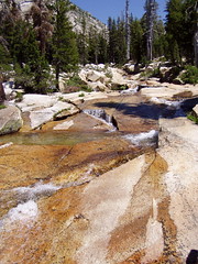
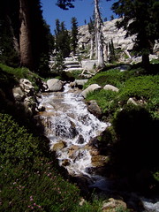
It was above freezing even when we started on the trail, so the snow was melting and Lyons Creek was flowing, but it was much lower than it had been in July, and crossing it was no difficulty at all. Shortly after that we came to the junction in the trail, and, unlike last time, we headed on towards Lake Sylvia, rather than Lyons Lake.
Soon after Erik said something about a dog. A hiker behind us had caught up to us, and his dog was running ahead. We came to another creek crossing, and while I was studying the easiest way to rock hop across, the guy with his dog just flew on over it as though he were crossing a bridge, rather than stepping on the tops of snow-covered rocks. We had one more such crossing before coming to Lake Sylvia.
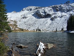
Lake Sylvia
Up at the lake, the other hiker's foot prints headed off to the south, in the direction of the recommended route for the off-trail climb up Pyramid Peak. I started following them, thinking that's where he must be headed, and he seemed to know exactly where he was going, so if we followed his tracks we would likely be taking the safest and easiest route.
Erik was uncomfortable with going on though, what with the snow, and we had crossed portions of the trail that had snow covering ice. I'm going to shift all of the responsibility for us shying away from making the climb to him. I'm sure if I had been alone I would have climbed it, waited until sunset on the peak to get the best photos, hiked down again in twilight, taken a refreshing swim in Lake Sylvia, and then returned to the trailhead by moonlight, just as Muir would have done. But being concerned for Erik, I decided to postpone my epic feat.
We ate a little, and then took some photos before heading back to the junction to climb to Lyons Lake. Had we planned on visiting both, I would have chosen to visit Lyons Lake first, as the lighting is better for photos at Lake Sylvia later in the afternoon.
When I first hiked up to Lyons Lake last year, I had trouble finding the trail at points along the steep climb. But this time, even with snow, I found it easy to follow. I think my problem before was just that I was so inexperienced. It's a challengingly steep climb, but mercifully it isn't all that long.
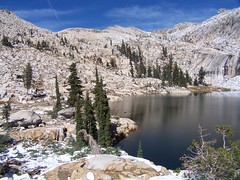
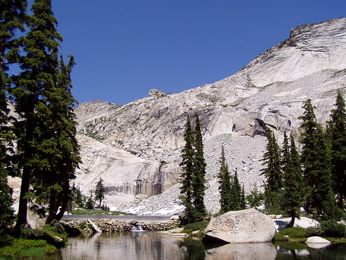
Lyons Lake
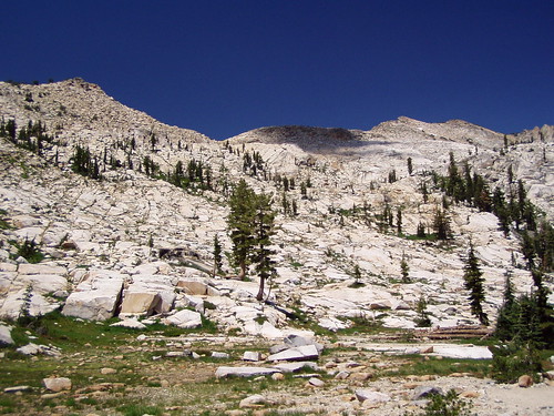
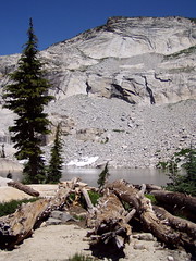
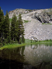
Lyons Lake is in a cirque, and I always find cirques dramatically beautiful. A cirque is a bowl shape in the mountains carved out by glaciers with an opening, or lip, from which the glacier flowed out. So we hiked up to this cirque through the lowest part, the lip, where Lyons Creek flows out of Lyons Lake. The rest of the lake is surrounded by high cliffs.
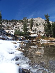
Lyons Lake
It was my third visit to the lake in 16 months, so some of the drama was diminished, but it was every bit as gorgeous as I expected it to be. After taking some photos, I crossed the dam to check out more views. Most of these small mountain lakes in the area have small, old dams at their outlets to increase the holding capacity of the lakes and control the outflow of water. The dam is just made of rock in mortar, and the surface is uneven, so I was slow crossing it since it was covered with snow. There's a pond below the dam, which shows the natural level and end point of Lyons Lake before the dam was built.
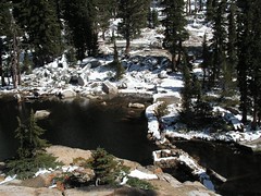
Erik's Photo of Me Crossing the Dam
I circled the pond and decided to just cross the outlet stream again below it to get back to the main trail, rather than go back the way I came. I waited for Erik to join me so I could show him the spot I found easiest to cross, but I had to wait a while as he kept taking photos of me from the opposite side of the pond. He demonstrated great sagacity in spending his time that way, as those photos will be quite valuable when I'm famous.
I descended pretty quickly, much more quickly than I could have last year. Back at the junction, I waited for Erik. I looked back at one point, and there was that dog again in front of Erik. The other hiker soon came along. He asked us if we had gone "all the way up" to Lyons Lake, to which we answered yes. Erik asked him if he had climbed Pyramid Peak, to which he answered yes. The summit of Pyramid Peak is at least 1500 feet higher than Lyons Lake. And the dog was still running ahead and then running back after all of that climb, with seemingly endless energy. We found out later (he kept passing us, as he would stop to take in the surroundings, and then start on the trail again) that the dog was only 4 months old. That impressed Erik, who solemnly informed me that he could not have made that climb when he was 4 months old.
It was quite a bit warmer in the afternoon than it had been in the morning, and the snow was melting or melted in many places, leaving pools of water on the trail, or just making it muddy at points. But we still made good time back, and arrived at the trailhead earlier than I anticipated. The other hiker got back to his car as I was getting ready for the drive home, and commented that it was another awesome hike. I'd have to agree. Even without the great scenery, just getting out and using my body to its full capacity feels great.